Margherita Peak summit report — Mount Stanley, September 16, 2026
Mount Stanley | Rwenzori Mountains, Uganda | September 16, 2026
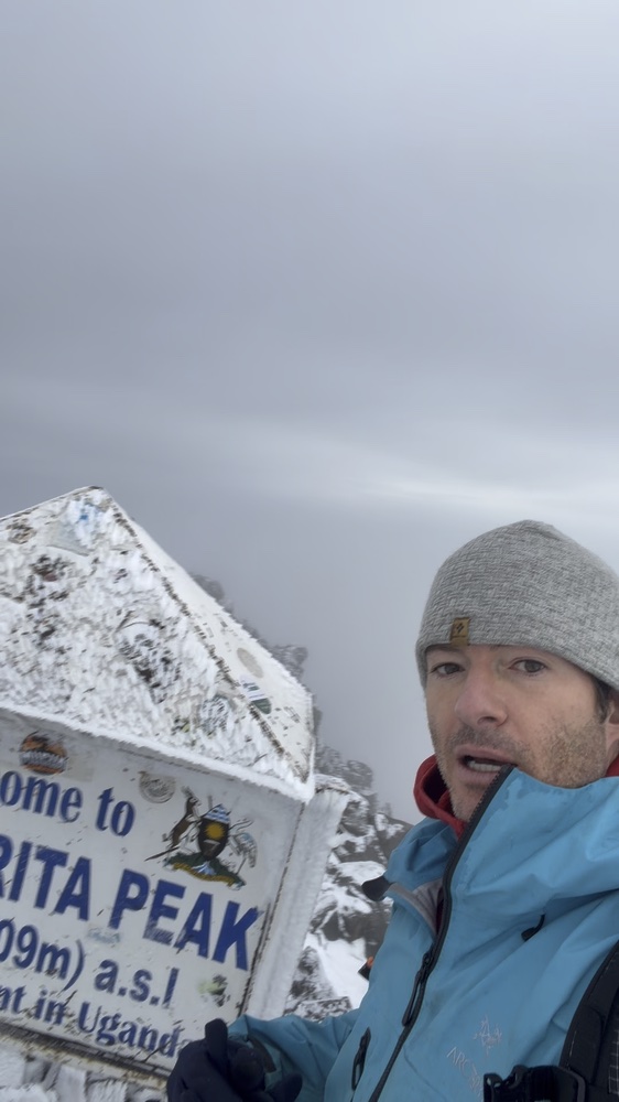
I reached Margherita Peak on September 16, 2026, after a wet and challenging climb with two guides. At 5,109 metres, it is the highest point on Mount Stanley and in the Rwenzori Mountains. We left for the summit at 3:12 a.m. By 7:12 a.m., I was recording beside the summit marker, surrounded by snow-covered rock and cloud.
The approach took me through forest camps and open high valleys to a camp set among bare rock. Snow and rain had left the mountain very wet and slick, making movement difficult. The summit climb included rope ascents using a Jumar and a prusik, followed by a descent back to Bujuku Camp and the lake below it.
The approach through the valleys
September 14
By late morning I was at Nyabitaba Camp, where the sign gives an elevation of 2,651 metres. Forest surrounded the sheltered veranda. Later, I passed a small open shelter above a rocky slope, before the afternoon views opened toward jagged ridges beyond the trees.
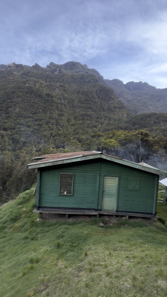
At John Maate Camp, green huts stood in a broad, vegetated valley. In the afternoon, cloud hung around the distant peaks. By the evening, clear patches of blue sky had opened above the valley.
September 15
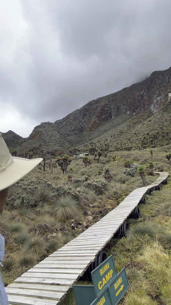
The next morning took me into an open high valley dotted with tall rosette plants. By 11:19 a.m., I was beside the Bujuku Camp sign and the wooden boardwalk. The trail threaded through the vegetation on the valley floor, with low cloud covering the steeper slopes above.
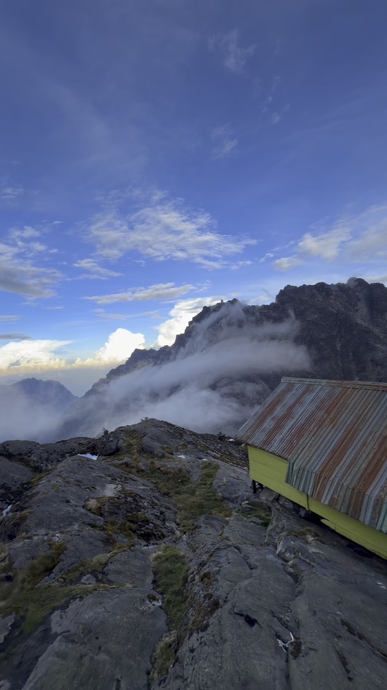
By 1:51 p.m., I was at the upper rocky camp. Huts and small shelters stood among slabs and boulders, with ladders connecting parts of the site. Cloud obscured the surrounding ridges during the afternoon. At 6:13 p.m., the view had opened, revealing dark rock walls against blue sky and cloud below.
The summit and return to Bujuku
We left for the summit at 3:12 a.m. on September 16. There had been lots of snow and rain, and the mountain was very wet and slick. Moving over it was difficult and challenging. I climbed with two guides, using a Jumar, a mechanical rope ascender, to get up one section.
At another section, one of the guides tied a prusik for me to ascend the fixed rope. Each time I pushed the knot upward, cold water and icy slush soaked my hand. It felt like soaking my hand in water over and over while trying to climb.
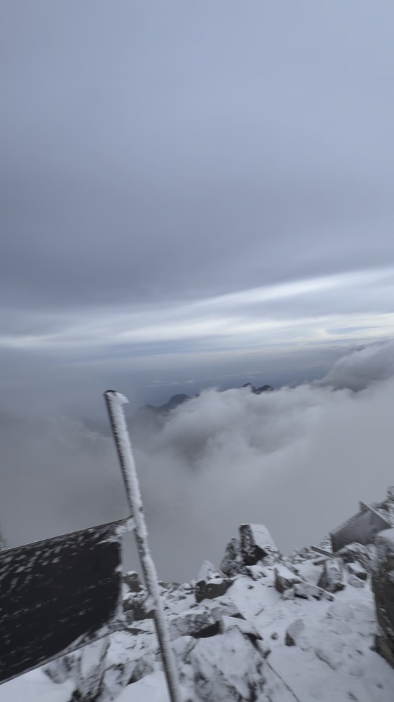
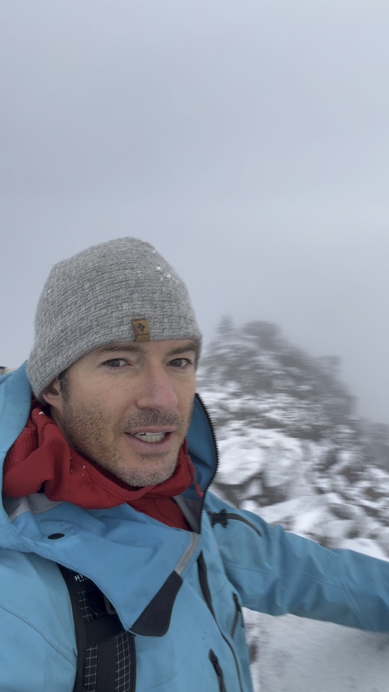
By 7:12 a.m., I was at the summit marker. Snow coated the sign, the angular rocks, and the surrounding ridge. Heavy cloud limited the distant views, with occasional openings across a lower cloud layer.
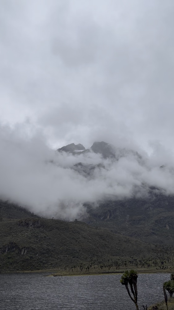
By 10:59 a.m., I was back at Bujuku Camp, recording another update beside its sign. At 12:21 p.m., I filmed the lake beneath steep, cloud-wrapped slopes. Green vegetation had returned to the foreground, a few hours after the snow-covered rocks at the summit.
All times are Uganda local time. Mountain name and summit elevation: Uganda Wildlife Authority — https://ugandawildlife.org/national-parks/rwenzori-mountains/